
-
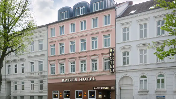
Central Kiel
Location & Directions
Ringstraße 30 · about a five-minute walk from Kiel Central Station
City centre and ferry terminals within easy walking distanceView the hotel in Google Maps: to the hotel (opens in a new window) Skip to map & directions
-
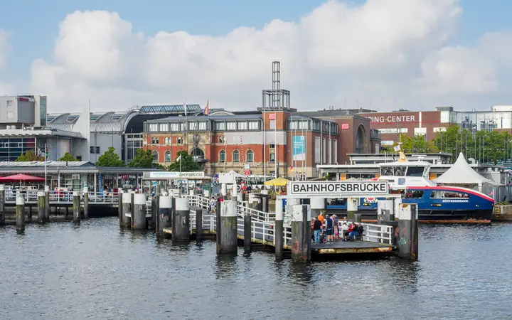
about a five-minute walk
Central station & coach station
Kiel Central Station, central bus stops and the coach station (ZOB, about an eight-minute walk from the hotel) are all on the waterfront.
Photo: JoachimKohler-HB · CC BY-SA 4.0 · cropped and resized -

about a five-minute walk
Sophienhof & Holstenstraße
The shopping centre is by the station; the Holstenstraße pedestrian zone is a little farther on (about an 11-minute walk).
Get walking directions in Google Maps: to Sophienhof (opens in a new window) Official website: Sophienhof (opens in a new window)
Photo: Mehlauge · CC BY-SA 3.0 · cropped and resized -
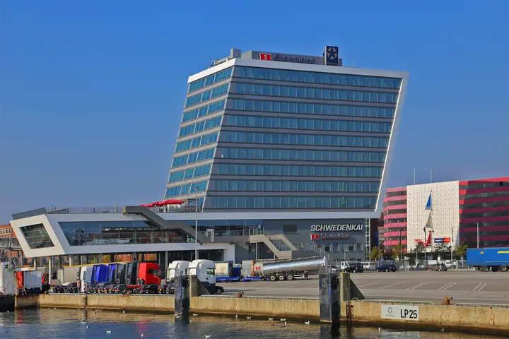
about a 12-minute walk
Schwedenkai
Stena Line to Gothenburg, within walking distance of the hotel even with luggage.
Get walking directions in Google Maps: to Schwedenkai (opens in a new window) Official website: Stena Line (opens in a new window)
Photo: W. Bulach · CC BY-SA 4.0 · cropped and resized -
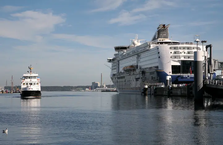
about a 20-minute walk
Norwegenkai & Hörn Bridge
Color Line to Oslo, across the Hörn Bridge at the head of the fjord.
Get walking directions in Google Maps: to Norwegenkai (opens in a new window) Official website: Color Line (opens in a new window)
Photo: W. Bulach · CC BY-SA 4.0 · cropped and resized -
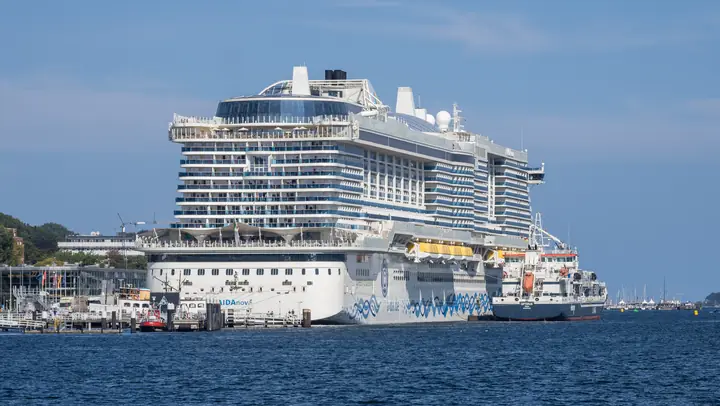
about a 22-minute walk
Ostseekai
Cruise terminal on the city-centre waterfront: this is where the big ships berth, and it gets busy during Kieler Woche.
Get walking directions in Google Maps: to Ostseekai (opens in a new window) Official website: PORT OF KIEL (opens in a new window)
Photo: JoachimKohler-HB · CC BY-SA 4.0 · cropped and resized -
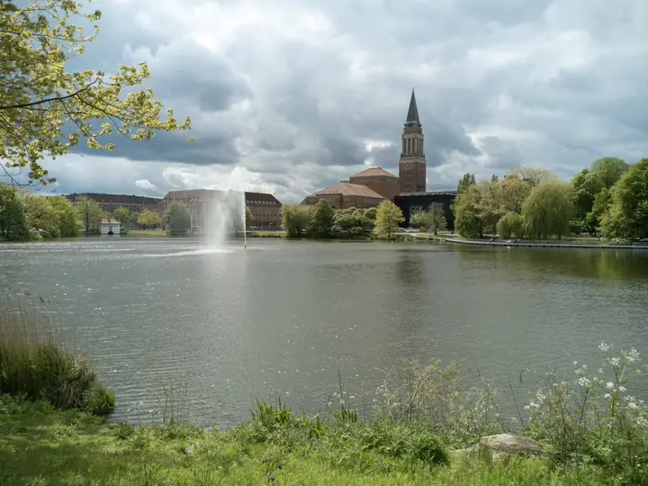
about a 13-minute walk
Town hall & opera house
A walk through the city centre takes you past the Town Hall tower, the opera house (about a 14-minute walk) and the Kleiner Kiel.
Get walking directions in Google Maps: to the town hall (opens in a new window) Official website: Theater Kiel (Opernhaus) (opens in a new window)
Photo: Michael Brandtner · CC BY 4.0 · cropped and resized
Walking times assume a normal pace and were calculated from Ringstraße 30 using a route planner. Routes and websites open in a new window; only then is any data sent to the respective provider.
More places nearby
Map & route
Rabe's Hotel, Ringstraße 30, 24103 Kiel, near the junction with Königsweg.
Both links open the map service in a new window; only then is any data sent to the provider.
How to reach us
By train
From Kiel Central Station, take the city-centre (Sophienblatt) exit. Ringstraße 30 is then about a five-minute walk away.
By car
From the motorway, follow Schützenwall into the city centre; in Kiel, follow the green “Hotelroute Innenstadt” signs. parking on request, € 12 per night.
By ferry
Schwedenkai (Stena Line) is about a 12-minute walk away, while Norwegenkai (Color Line) is about a 20-minute walk. Alternatively, either terminal is a short taxi ride from the hotel.
At the hotel
The entrance is directly on Ringstraße. Once through the glass door, turn left for reception, where your key will be waiting.